Windermere to Pelion
Download app now
15.1 km
oneway
Climb: 477m
Descent: 626m
Hard track
Starting from Lake Windermere, the first part of the walk will take you through buttongrass plains. You can take your first side trip here to the Forth Valley Lookout with great views over the valley. When crossing Pelion Creek you'll start your descent through the myrtle-beech rainforest to reach the Frog Flats - the Overland Track's lowest section at 730m above sea level. There's a campsite just after crossing the Forth River at Frog Flats, if you decide to stay here. Otherwise, continue your way up through the rainforest and eucalypt forest to come to the New Pelion Hut. You can take a side trip to the Old Pelion hut, just a few hundred meters before the new one. Let us begin by acknowledging the Palawa people, Traditional Custodians of the land on which we travel today, and pay our respects to their Elders past and present.
| Turn map | Directions & comments |
|---|---|

|
Start Start heading along Windermere Hut Track. |

|
Veer right At the intersection of Overland Track & Windermere Hut Track veer right, to head along Overland Track. |

|
Continue straight
After another 3 m continue straight, to head along Overland Track. |

|
Side trip to Mersey River Viewpoint with great views over the Forth River valley. Details near bottom of page.
Continue straight After another 4 km (at the intersection of Overland Track & Mersery River Viewpoint Track) continue straight, to head along Overland Track. |

|
Continue straight After another 155 m (at the intersection of Overland Track & Pelion West Track) continue straight, to head along Overland Track. |

|
Side trip to the charming Old Pelion Hut, constructed around 1916. If you're up for a refreshing swim, follow the foot track to a swimming hole in Douglas Creek. Details near bottom of page.
Continue straight After another 3.4 km (at the intersection of Overland Track & Old Pelion Hut Track) continue straight, to head along Overland Track. |

|
A side trip to Mt Oakleigh from Pelion Hut. A great option if you are having a rest day at Pelion Hut, have favourable weather and are up for more challenging side trips. Walk along the porch 'behind' the hut (away from the toilets and down the timber steps to initially follow the Arm River Track. Then the Mt Oakleigh track leads up the southern flank. The track is very steep, not always clear and can be very muddy as it leads through the low lands. On top, you can enjoy the views from the first lookout or keep going to the far end of the mountain. The tops of the cliffs are not fenced. The views are amazing. Details near bottom of page.
The end
Continue another 0 m to find at the intersection of Arm River Track & Overland Track at the end. |
| Turn map | Directions & comments |
|---|---|

|
Start At the intersection of Mersery River Viewpoint Track & Overland Track Start heading along Mersery River Viewpoint Track (a walking track). |

|
The end Continue another 0 m to find Mersey River Viewpoint at the end. |
| Turn map | Directions & comments |
|---|---|

|
Start At the intersection of Old Pelion Hut Track & Overland Track Start heading along Old Pelion Hut Track (a walking track). |

|
The end Continue another 0 m to find at the intersection of Forth Valley Track & Old Pelion Copper Mine Track at the end. |
| Turn map | Directions & comments |
|---|---|

|
Start At the intersection of Arm River Track & Overland Track Start heading along Arm River Track (a walking track). |

|
Turn left After another 7 m (at the intersection of Mount Oakleigh Track & Arm River Track) turn left, to head along Mount Oakleigh Track. |

|
The end After another 1.6 km come to the end. |

 Windermere to Pelion
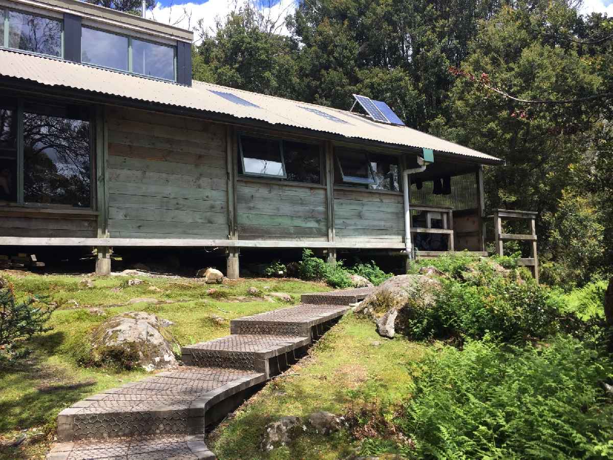 Windermere Hut
 Frog Flats
 Old Pelion Hut
 Pelion Hut

