Pelion to Kia Ora
Download app now
8.5 km
oneway
Climb: 341m
Descent: 326m
Very challenging
Starting from Pelion Hut this walk gently climbs through the rainforest to Pelion Gap saddle with some very short side trips to some lovely cascades. If you have spare time and favourable weather you can opt for the side trip to Mt Ossa or Mt Pelion East. From the gap wander down through Pinestone Valley with stunning views of Cathedral Mountain to your left, before reaching the peaceful and sheltered Kia Ora hut, camping area and cascades. Let us begin by acknowledging the Palawa people, Traditional Custodians of the land on which we travel today, and pay our respects to their Elders past and present.
| Turn map | Directions & comments |
|---|---|

|
Start Start heading along Arm River Track. |

|
Continue straight After another 85 m continue straight, to head along Overland Track. |

|
Side trip to Douglas Creek waterfalls. Details near bottom of page.
Continue straight
After another 1.5 km (at the intersection of Overland Track & Douglas Creek Falls Track) continue straight, to head along Overland Track. |

|
Side trip to upper Douglas Creek waterfalls. Details near bottom of page.
Continue straight After another 55 m (at the intersection of Overland Track & Douglas Creek Falls Track) continue straight, to head along Overland Track. |

|
Side trip to the top of Mt Ossa, Tasmania's highest peak. You will need 4-5 hours of daylight
to the summit and return to Pelion Gap. Exposed rock scramble to reach the summit, very slippery in wet conditions, requires clear weather. Details near bottom of page.
Continue straight Pelion Gap continue straight, to head along Overland Track. |

|
Continue straight After another 2.1 km continue straight, to head along Overland Track. |

|
Turn right
After another 8 m (at the intersection of Kia Ora Hut toilet track & Overland Track) turn right, to head along Kia Ora Hut toilet track. |

|
Turn left After another 4 m turn left. |

|
The end
The end. |
| Turn map | Directions & comments |
|---|---|

|
Start At the intersection of Douglas Creek Falls Track & Overland Track Start heading along Douglas Creek Falls Track (a walking track). |

|
The end The end. |
| Turn map | Directions & comments |
|---|---|

|
Start At the intersection of Douglas Creek Falls Track & Overland Track Start heading along Douglas Creek Falls Track (a walking track). |

|
The end The end. |
| Turn map | Directions & comments |
|---|---|

|
Start Start heading along Mount Ossa Track. |

|
Continue straight Pelion Gap continue straight, to head along Mount Pelion East Track. |

|
The end The end. |
| Turn map | Directions & comments |
|---|---|

|
Start Pelion Gap Start heading along Mount Ossa Track (a walking track). |

|
The end Continue another 0 m to find Mount Ossa at the end. |

 Pelion to Kia Ora
 Pelion Hut
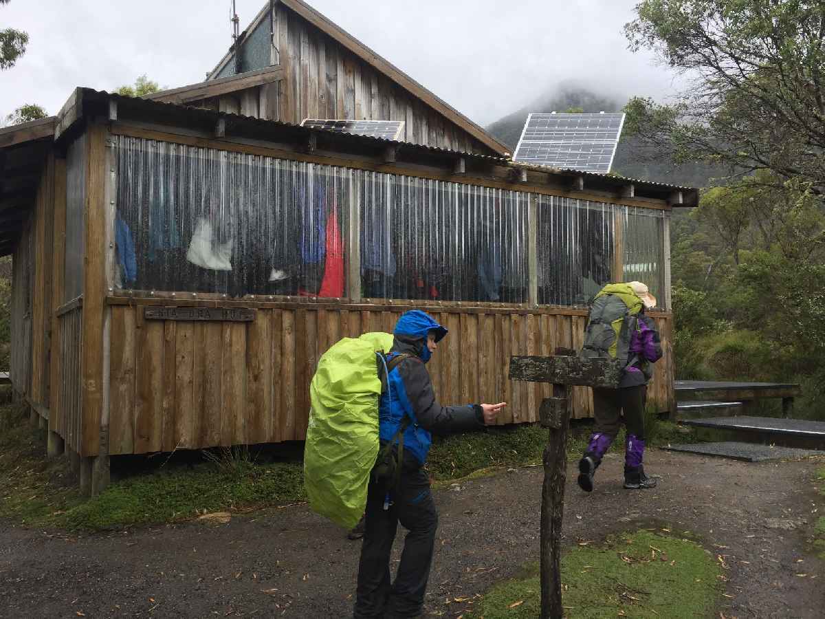 Kia Ora Hut

